
... here's a map of the refuge... simply put, "...the DNWR encompasses 1.6 million acres and is the largest refuge outside of Alaska..." - here's a link to their very good video which explains it all... west of the the refuge borders the off-limits 'Nellis and Indian Springs Air Base Range' and location of the infamous 'Yucca Flat' (previous) nuclear testing range...

...the refuge encompasses the 'Sheep Range' mountains (around El 10,000ft) and is the largest home for 'Desert Bighorn Sheep' in the US...

... our wandering was limited to the area of the southern Sheep Range - roaming the eastern 'Yucca Forest' and west on up to 'Joe May Canyon' (all around El 5,000ft)...

... the Sheep Range viewing east along 'Joe May Road'...

... 'Yucca Gap'...
... 'Fossil Ridge'...

... Fossil Ridge limestone rock...

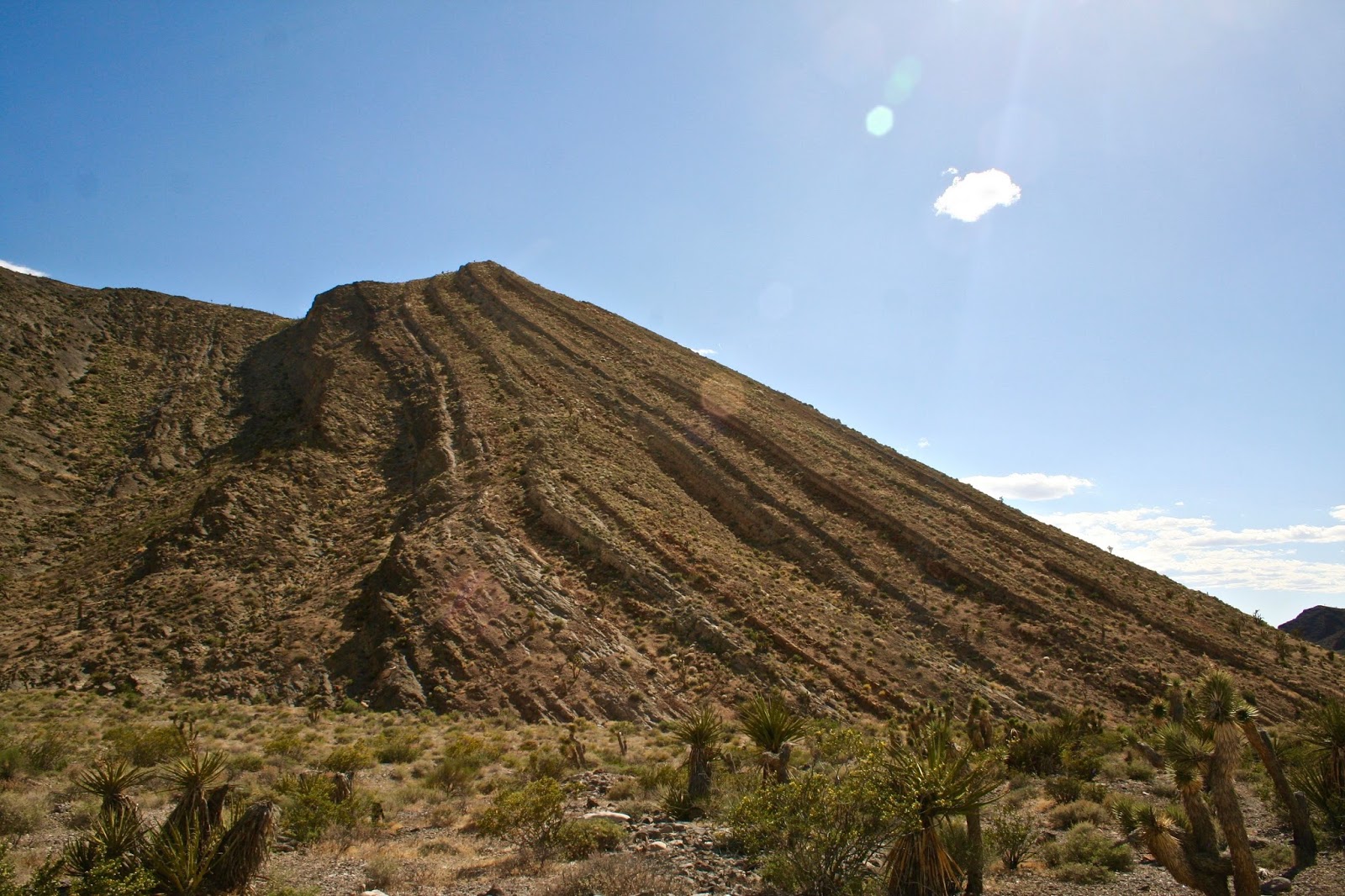
... high peaks of the southern Sheep Range...

... viewing west thru Yucca Gap, across the low desert 'Indian Springs Valley' with the distant 'Spring Mountain Range' framing the horizon...

... a bit more distant Yucca Gap and Fossil Ridge - that's the landmark 'Mummy Mountain' profiling the far horizon along the gap...

... viewing the 'Yucca Forest' and distant 'Las Vegas Range' (see map) to the east...

... more high peaks...

... white clouds, blue sky and desert...

... viewing from up around El 5000ft and the high desert...

... high desert vegetation...

... about 15 miles out viewing west and the Sheep Range - other than a few ruts and dips the travel is pretty easy (typical desert trails of gravel and cobble rocks and sand) but we'd still recommend four-wheel traction with some ground clearance - also recommend to come prepared - can be a long walk back to help in the desert heat (although sounds like fun on a cool night with full moonlight) and it could be a few days before you encounter a passer-by - and you can easily find yourself 50 to 70 miles out if ya' want - no cell phone service either (that ends in the low desert)...

... a final image viewing north across the 'Yucca Forest' and the northern Sheep Range...


